We followed NM 520 to NM 76, winding through tiny towns that seem to have little going for them except scenery. But the scenery is pretty amazing.
This is the little town of Truchas.
The mountains in the background are the called the Truchas Peaks. Obviously the mountains have been around longer than the town, so I assume they named the town after the mountains and not the other way around. Among the highest in the New Mexico Rockies, they rise over 13,000'.
The road begins climbing...and climbing...and climbing. We began seeing more trees, taller trees.
This cool old flume beside the road still has water running down it.
There's a cemetery alongside the road in Chamisol that caught my eye.
At the junction of NM 76 and NM 75, we turned east on 75 for a short way until we got to NM 518 and we turned north. (Sounds awful, doesn't it? We only got lost when I had George turn off into the little towns and missed the signs labeled "High Road to Taos".) Someplace along there the altimeter on the GPS showed we were over 8,000'. I think there would have been pretty views of the mountains and the forest, but the clouds were getting dark and ominous.
By the time we got to Taos, little tiny snowflakes were falling, although they didn't last. We stopped at the Taos Plaza, which has been there over 300 years. There were lots of cars parked around it, but Taos doesn't seem to have opened for tourist season yet--though I shouldn't whine because it did save George some money. The only shops that were open were the cheap junky ones and the really expensive galleries. And a coffee shop--where the barista didn't even know what I meant by "double tall latte extra hot". (Sometimes it's rough being from Seattle...) I think there will be people here in June!We still couldn't tell what the weather was going to do, so we cut out the Taos Pueblo visit. (There will be another chance, George!) I planned on heading back home* on the lower River Road but first we made a detour--NM 64 E to the Rio Grande Gorge. Doesn't look like much when you get there...at least until you look down.
We parked and walked out on the bridge. Next to the overlooks are a sad reminder that not everyone goes there for the view.
There's a rest area on the far side where we stopped to get a view of the bridge itself. Good thing that's all we needed to do--the restrooms were all locked up tight. I told you it's not tourist season yet!
Back in the truck and turned towards Taos, it started to rain.It didn't last long (I'm beginning to think that's typical of New Mexico), so by the time we got down to the river, it was nice again.
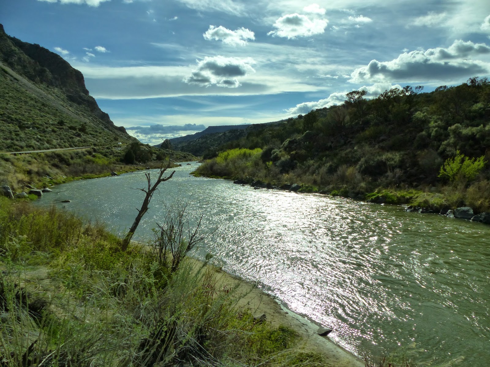
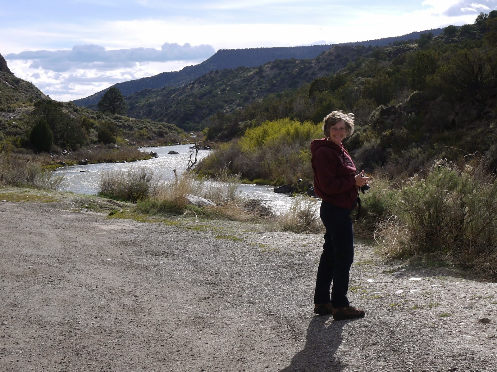
 When I think of the Rio Grande, I think Texas because the whole southern border of Texas is the Rio Grande river. Well, it has to come from someplace--it starts in southern Colorado and flows all the way through New Mexico to the border of, ummm, Texas and Mexico. (Go look at a map; you'll see what I mean.) It parallels the road here.
This is an old footbridge that I wouldn't consider crossing! It's in really bad shape now, but I wouldn't consider crossing it when it was new.
As we got away from the river, the dark mountain shadows were silhouetted against the clouds.
I like sunshine best, but this is pretty nice too.
* Surprised that I'd call an RV "home"? It's what we've lived in for 4 1/2 years. I don't know what else I'd call it. There are bumper stickers that say "Home is where you park it".
For a few more pictures, click the link: High Road to Taos
.JPG)


.JPG)


.JPG)
.JPG)


.JPG)
Post a comment.
Post a Comment
Please leave comments here: