October 23, 2011

10/22/11 - El Malpais NM

El Malpais National Monument is near Grants, NM.  It's pronounced mahl-pah-ees.   I stutter on this one, even though I took Spanish!  El Malpais means badlands, and they are really wicked.  You sure wouldn't want to take a wagon train over this stuff!!!  ("Head 'em up, move 'em out"--no, wait, that's the Rawhide theme song.  I can't remember the Wagon Train lyrics.)
   
Driving south on NM Hwy 117 next to El Malpais National Monument.   On one side are sharp black lava rocks from the volcano and on the other are smooth sandstone bluffs. 
We stopped at the BLM Visitors Center.  The ranger was mightily impressed with his own education and vocabulary—he was using $5.00 words that only someone with a degree in geology would have been able to follow.  Didn't impress either of us.  (And he didn't answer my question either!)
We hiked the trail at the Lava Falls Area.  The McCartys flow is about 3000 years old, and the youngest lava flow in the region.  It's like Hawaii, only without the flames & smoke.
You hike from cairn to cairn so you don’t get lost.  You’re not supposed to leave one cairn until you see the next one.  George watched for the cairns; I only had to watch for him.  As usual, he's pretty easy to spot!
Part of the lava looked like cracked and broken asphalt.  I think we've driven on highways that look like this...
Some of the splits in the lava are really deep.
Now I know where lava rocks for barbecues comes from. 
I’m fascinated by the stuff they call Ropy Pahoehoe. 
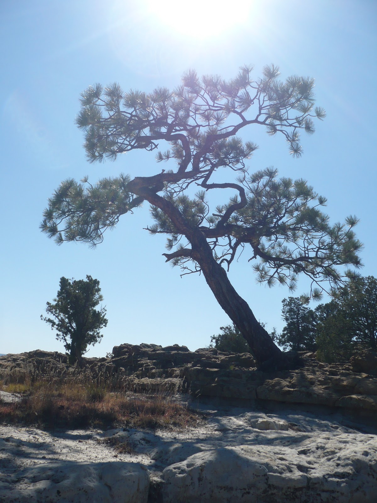
There’s a pygmy forest of twisted contorted ponderosa and pinon pines growing on the lava. 
And wildflowers.
We stopped at La Ventana Natural Arch on the way back.  I wanted to see blue sky through the arch, but they won’t let you hike all the way up. 

October 22, 2011

10/21/11 - El Morro NM


If you’re into graffiti, then El Morro National Monument in New Mexico is calling you.  El Morro means “headland” in Spanish.  It’s a cuesta, a tall long hunk of sandstone standing up out of the landscape; people have carved their names there for hundreds of years. 
Puebloan ancestors of the Zuni Indians scraped petroglyphs into the rock wall in ancient times. 
When the Spaniard conquistadors passed through in the late 1500s, they stopped to inscribe their names and dates.  The Spanish Governors had really verbose carvings, but I’m guessing they dictated it. 
American settlers came through in the mid-1800s, and not to be outdone, left their own names on the rocks. 
See what I mean, LOTS of graffiti!  Don’t think you can add your name to the rest—it became illegal in 1905.  Don’t even bother to look for “Kilroy was here” or modern tags.
We strolled along the Inscription Rock trail (which is really a paved sidewalk).  Stopped at the pool.  Took pictures of the names.
Where the sidewalk ends, the hardy continue around the side and head upwards along the switchback trail to the top of the mesa.  (The trick, as I told one middle-aged guy who was huffing and puffing as he passed me, is to take a camera; you can stop as much as you want to take pictures and no one realizes that you needed to catch your breath!)
The top is smooth sandstone, but a trail is incised in the rock so you know which way to go.  In some places there are even steps carved in the rock.  It’s windy up there too.  Occasionally there are guard rails, but mostly you’d better be smart enough to stay back from the edge.  I told George that if we’d taken my son Jeff up there when he was a kid, he would have had a harness and leash, and made him walk between us. 


When you get to the top, you can see it’s not just a big flat rock; there’s a canyon inside it.
And the top of the mesa isn't exactly flat either.  (Those carved lines in the rock is the trail.)
 
 
The ruins of Atsinna Pueblo were partially excavated 60 years ago.  When we got there, there was a Zuni mason doing some repair work on the walls.  We talked with him for a while, although I must say the banana perched on one of the sidewalls seemed a bit incongruous. 
I think the whole trail is about 2 miles long, and they say you climb about 200’.  Seems higher.   The elevation at the top is 7,450’, but all the picture stops (see above) make it seem longer, but not super strenuous.  This was a great hike! 
There are more pics of El Morro at this link:  El Morro NM 

10/19/11 - Petroglyphs NM

New Mexico has hordes of ancient ruins and pueblos.  Almost as interesting are the records the long-ago people left behind.  Right outside Albuquerque are a couple of canyons that contain over 20,000 petroglyphs (no, that’s not a typo—it really is a 20 with a comma and 3 more zeros!)
We went first to Boca Negra Canyon.  There are supposed to be about 200 petroglyphs there.  (Sigh) We didn’t see that many. 
After lunch , we headed up the Cliff Base Trail to check out the macaw and yucca pod petroglyphs.  We found those!
Rinconada Canyon is about 3 miles away (we drove).  The 1.25 mile trail there follows the northern escarpment of basaltic lava where the petroglyphs are located.  Archeologists say the 1,200 petroglyphs in this canyon were made 400-700 years ago.  Pueblo elders believe the images are as old as time.  They also believe that the petroglyphs choose when and to whom they reveal themselves.  The ranger said we might see 700.  The petroglyphs didn’t choose to let me see that many.  They didn’t like George very much either.


My method to find the images was to walk a little bit, then stop and stare, then walk more and look back where I was.  Sometimes it even worked.  Some are easy to find, and some aren’t. 
The archeologists don’t know what all the carved images are.  Some are obvious—like animals or people—and have tribal or clan meanings.  Some still have contemporary meaning, but some are unknown.  If you’ve got a good imagination, you can find aliens.   
We walked to the end of the canyon.  Instead of reversing and going back along the canyon wall, we made the loop that went across the dunes.  The trail guide said we might see Earless Leopard Lizards—but I didn’t see any lizards, with or without ears!