November 29, 2016

11/22/16 - Saguaro NP East

There are two districts for Saguaro National Park, one on each side of Tucson.  We’d visited Saguaro National Park West—Tucson Mountain District in February of 2011.  We’d actually stopped at Saguaro National Park EastRincon Mountain District that year too, but it was on the way back from somewhere else, it was late in the day, and all we did was go into the Visitor Center for a passport stamp.  I wouldn’t let George actually count it as a park visit.

We stopped at the Visitor Center again, this time to view the movie and wander through the museum before we headed to the only road in the park, the one-way Cactus Forest Loop Road through this portion of the Sonoran Desert. We shared the road with bikes and cars, but the other critters weren't around to share.
This is a park dedicated to Saguaro cacti, the iconic cactus of the southwestern desert.  It decorates the desert and an enormous amount of souvenirs.  The holes all over this one are probably nests pecked out by cactus wrens. It's sort of a wren condo.
As expected we saw saguaro, although nowhere as many as I expected to see.  This picture was taken at the Cactus Forest Overlook.  Looks like it had been clearcut and was just now growing back.
Apparently in the 1930s when the park was established, this was the most spectacular cactus forest in Arizona.  But in 1937 a cold front brought record lows to Tucson, and the saguaros started to die.  After another freeze in 1962, they realized that temperatures below freezing for just 20 hours could kill these warm-weather giants.  Now young saguaro are starting to sprout, so maybe in another 50 years, it might look like a forest again.

There are other cacti in the park too. It’s easy to see how the fish-hook barrel cactus got its name.
For some reason I always have trouble remembering prickly pear’s name.  I think of beavertail first, then realize that’s wrong, and have to work my way around to fruit instead of animals.  It can really spread a lot.  The red things aren’t blossoms, but the remnants of last year’s blooms, from which new pods will grow next spring.
Even dead and desiccated, they make a unique picture.
There are three kinds of cholla here, all wicked.  The Chain Fruit Cholla can grow to tree size.  They’re interesting but you don’t want to get too close.

Staghorn Cholla are purple, and skinnier than most of the others.
My favorite is the Teddy Bear Cholla, the one sometimes called Jumping Cholla.  Either we didn’t see any or I missed taking pictures of them. (This picture is from another park.)  Just in case you’re interested though, it comes by its Teddy Bear name honestly--isn't it cute? But it got the Jumping name dishonestly (because it doesn't really jump).
Many years ago, there were many more saguaro.  Still standing, dead saguaro look like a completely different plant.  These woody ribs are what allow the large fleshy cactus to stay upright.
I’ve been to yoga classes around here where the instructor has told us to stand like a cactus--arms out, bent up at the elbow.   That might not be as easily recognized in other states, but everyone in Arizona knew just what to do.  (By the way, that dead-looking bunch of sticks next to George is an ocotillo, another desert plant.  It only grows leaves when there’s enough water, it has bright red flowers at the tips, and is covered with vicious thorns. I love it!)
Sometimes even saguaro themselves get a little confused in where their arms should be held.
The Riparian Overlook is on the northeast part of the loop.  There are nice views of the mountains and more saguaro than at other overlooks. Still not a lot to get excited about—unless you’re a cactus botanist, maybe.
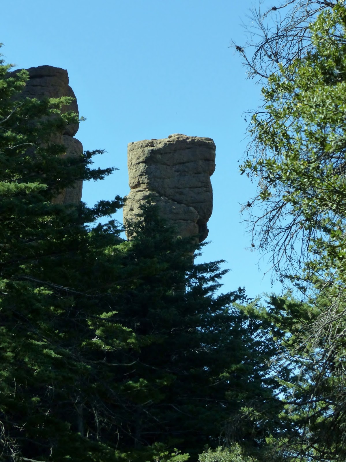
At Javelina Rocks Overlook I climbed up on the rocks while George tried to get a picture of a bird that was bouncing around beneath the creosote bushes and mesquite. 
I’d have to say that if you’re only have time to go to one district of Saguaro National Park, you’ll see more if you go West. 

More pictures of Rincon Mountain District here:  Saguaro Natl Park East
Pictures of Red Hills District here:  Saguaro Natl Park West 

November 20, 2016

11/15/16 - Chiricahua NM (Revisted)

We went to Chiricahua National Monument in February of 2011, the first year we were on the road.  I liked it, and I wanted to go on a hike, so I added it to the itinerary for this year. 

After the standard stop at the Visitor Center and the movie and the passport stamps, we headed up the road to the sky island, described as an isolated mountain range that’s surrounded by a grassland “sea”. The grassland looked an awful lot like desert to me...
The pinnacles the Chiricahua Apache called “standing up rocks” (I love that name!) are the results of volcanic ash that melted together forming rhyolite.  It cracked and broke over the eons and left spires, balanced rocks and weird shapes.    Some have names—like this one they call China Boy.  I have no idea where you have to stand to see that in this shape.


Cochise and Geronimo were Chiricahua Apache—hiding out in these canyons, melting between and behind the rocks, drove the soldiers nuts.  Think about that as you look at these rocks.  I do.

We couldn’t find a parking place at Echo Canyon, so we detoured to the Sugarloaf picnic area for lunch.  There’s a good view of the wilderness that’s classified as “Class I, pristine wilderness”.  No franchises out here!
We were joined at lunch with a pretty little Mexican Jay, but when we ate our own sandwiches and didn't share, he didn’t stay very long. Definitely not long enough for me to take a picture of his good side.

After lunch, we went back to Echo Canyon and easily found a place to park the truck.  We’d barely started when I began noticing balanced rocks.  This one looks like a bird, with a lizard friend in the background. 
Balanced rocks come in all sorts of shapes and sizes.  Sometimes I wonder how some of them got there.  I imagine this whole place as a playground for the gods...tossing rocks on top of pinnacles, getting points if they stay balanced, extra points if they’re bigger than the one they’re on.   (Pretty sure it’s my overactive imagination again, but this is a great place for it to be exercised.)
The Echo Canyon Trail takes us through a section they call the Grottoes.    There are lots of slits and slots and windows created by rocks that are very close together.  Sometimes big boulders are lodged between.
 
I think these look like giant cairns.
There’s a rock wedged in here.  I thought it looked easy enough to climb up...so I did.  George didn’t. 
 
After we got to the bottom, we got a different perspective on the pinnacles. 
There are a variety of plants growing in this canyon.  Although most of the flowers are long gone, some of the seed pods are interesting.  The purple one still has blossoms, maturing into some sort of berries.  As I was taking pictures, a group of energetic hikers passed me going the other way and someone said something about the plants.  They waited with me until the biologist in their group caught up.  I asked him what it was.  He hummed and hawed and looked like he was concentrating on whether he’d turned off the lights at home, then told me he couldn’t remember.  (sigh)  That’s the problem with asking old guys questions like that; they may have known once but the filing system has gone awry.


After a mile and a half on the Echo Canyon Trail, we turned off it and followed the Hailstone Trail for not quite a mile to the Ed Riggs Trail, which took us back to the truck.  That made the hike 3.2 miles with an elevation gain of 450’.  Piece of cake. 
We were definitely on the shady side of the canyon as we walked the Hailstone Trail.
It was a little late but after we got back in the truck, we turned right to check out the view at Masai Point.
On the way out of the park, several coatimundi ran in front of us, heading for underbrush on the left side of the road.  George had already put his camera away so he grabbed mine.  I know you can’t make them out, but this is proof that we saw them. Sort of.
More pictures of Chiricahua Natl Monument 

November 13, 2016

11/5/16 - Aztec Ruins NM

If you’re thinking we’re done with Ancient Puebloans in the southwest and moved on to the Aztecs in Mexico, you’re as wrong as the Anglo settlers who named this place.  Inspired by popular histories about Cortez they thought Aztecs built these dwellings.  The name stuck—so it’s now called Aztec Ruins National Monument.  I’m not sure if that’s better than Anasazi, as far as contemporary Puebloans are concerned.

The Four Corners area south of Mesa Verde and north of Chaco Canyon is another remote area of the country.  We stayed at Farmington, New Mexico, with the express purpose of visiting Aztec Ruins National Monument and Chaco Culture National Historical Park.  However...recent rains made the dirt roads to Chaco passable for 4-wheel drive only.  (I guess that one’s still on my bucket list, although it might not be on George’s.)

Lucky for us, Aztec Ruins is right in the little town of Aztec, and the roads to and from are paved.  The ruins are accessed through the Visitor Center, which was handy since that’s where we headed first.  There’s a little museum and bookstore—and of course, passport stamps.  The ranger gave us a binder with descriptions of what we were going to be seeing, to be brought back when we left.
There are two bands of green sandstone—one at ground level and the other waist high—that run along some of the West Ruin walls.  The archeologists haven’t a clue why.  I’m finding it interesting when the experts are admitting they don’t know everything.  I guess archeology is a science where it’s okay to admit you don’t have a clue—rather like those who get the weather forecasts wrong.
The first views of West Ruin weren’t terribly impressive. 
The Great Kiva looked a lot more interesting.  The experts think it was a sanctuary and a place for community events.  Archaeologist Earl Morris excavated it in 1921 and rebuilt it in 1934. Most of the kivas we’ve seen (and we’ve seen a bunch by now!) are either ruins or just foundations.  This one is as accurate as they could make it, except probably for the electric lights and the wooden stairs.  I wasn’t sure about the paint, but Morris found plaster that color so he matched it.
I mentioned before the binder they loaned us, which was helpful in figuring out what things were—but very awkward to use.  Picture me with binder in one hand, camera in the other, trying to take pictures and read out loud to George about what we were seeing as we were walking.   Aztec Ruins probably isn’t high on the list of NPS' busiest parks, but those of us who travel to it deserve to have informational signs like they put up in all the other parks.  It’s a whole lot easier to stand in front of a sign and read for yourself what’s there (or just take a picture and read it later, like George frequently does) than it is to juggle binder and camera. 

That said, these round things in the Great Kiva by the number 4 were bases for the pillars that held up the ceiling beams, and came from at least 30 miles away.  My guess is that they thought the limestone would last longer than the local sandstone—I’m not an archaeologist but I know sandstone's pretty soft stuff.
These bathtub looking things are called floor vaults, but they’re another thing the experts aren’t very expert on.  The door where the stairs are wasn’t the original entrance—the Ancient Puebloans came in through a hole in the roof.  There are ladders hanging below the cutouts that I thought were windows. 
The next number in the binder took us to part of the interconnected rooms of the big building.  There are doors leading across a room to another door of another room and then another door.  However...it had rained the day before, and since most of the roof is gone, we had to circumnavigate the puddles and mud in each room.  The doors opening directly from the plaza were part of a remodeling project. 
George is a really good sport about places like this.  He doesn’t fit, but rarely balks at exploring.  He is good at giving me looks that express exactly how he feels.

There were three stories in this building, so there are stairs all over. 
And more kivas... 
This is some of the original 800-year-old timber that held up a roof.   You can see why a lot of the pueblo’s stones crumbled.  And, speaking of crumbling, in 1878 an archaeologist estimated that one quarter of the rocks had been scavenged by settlers for building their own houses.  In fact...archaeologist Earl Morris “borrowed” some of the ponderosa beams for his house in 1920. His house is now part of the Visitor Center lobby and bookstore.  Standards for archaeologist have definitely changed through the years.

The holes in this wall are where poles were inserted to support the ceiling, but I’m not sure if there was a floor above the ceiling here or not.  Sometimes even the binder doesn’t answer my questions.
Many of the doors leading inside from the central plaza are T-shaped.  I’m not sure if the experts know why, in which case it’s understandable that I don’t either.  I like them though. 
In some of the little rooms, you can look through the windows to see the grinding stones that the archaeologists found around the site. 
In a few places they’ve rebuilt part of the ceilings so the tourists can see what it was like.  Looks like big trees crossed over with saplings, and then smaller sticks laid across.  There were probably bugs.
Back outside we followed the path out of the West Ruin and out to the Hubbard Tri-Wall Site.  They apparently excavated it, but then they filled it back up again to support the walls.  There’s nothing about why in the binder, just a mention of how rare multi-walled kivas are, and that they were probably used ceremonially.  There are seven multi-walled kivas at Aztec.  A few of the dwelling walls lie beyond the walls of the kiva.
The West Ruins take on a different look from this side. Deep shadows as the sun got lower helped too.
Here are some of those borrowed pillars that were used in Morris’ house, now converted into the gift shop.
Back in the Visitor Center, I told the ranger what I thought about how awkward the binder was to use. She asked me to fill out a review of the park--so I told NPS the same thing, perhaps a little less tactfully.

More pictures of Aztec Ruins Natl Monument