October 31, 2015

10/31/15 - Mono Basin NFSA

Lower Twin Lake
I’d seen an article in  Sunset magazine about a trip down US395 to see fall colors.  Sounded like a plan, although I hadn’t realized that the season for the area was over by the end of October, even if the colors weren't showing yet.  We stayed at a campground near Twin Lakes outside Bridgeport, CA.  We had it almost to ourselves.

George hadn’t been feeling well since Lake Tahoe, and ended up going to a clinic in Bridgeport. He got a prescription, but the closest drug store was in Mammoth Lakes 50 miles south. The medicine made him sicker, but the next day was Saturday and the local clinic was closed, so we had to go to the hospital in Mammoth Lakes. Turns out his body wasn't happy at 7,000', at least for more than just passing through. 

Mono Basin National Forest Scenic Area was on my itinerary, but I hadn’t planned on a travel partner who was having problems with the elevation.  We stopped at the Mono Lake Overlook.  I’d never seen a guard rail completely covered with bumper stickers.  I would have said it would be tacky, but it's more fun and doesn't hurt anything.  Start reading the stickers and you'll find a few slogans you agree with, many you don't, and a whole lot more local ones you don't even understand! View of Mono Lake is pretty good too.
The basin is impressive, containing a saline soda lake with no outlet.  Water from the river running into it is diverted to Los Angeles, and a lot of the bumper stickers are commentary about that. Not being from California, those were some of the ones I didn't understand.
On the way back from Mammoth, we stopped at the Mono Basin Visitor Center.
We went out back but didn’t go down to the lakeshore.  George is a wimpier patient than I am!  I really wanted to see the tufa towers, calcium-carbonate spires and knobs formed by interaction of freshwater springs and alkaline lake water.  Good thing I’ve got a telephoto lens.
Shades of blue everywhere.
I really want to go back, but before we do, I’ll stock up on Dramamine for George.

October 27, 2015

10/24/15 - Nevada State Railroad Museum

Nevada has three railroad museums.  There's one in Carson City, one in Boulder City, and one in Ely.  That's actually kind of interesting if you see it on a map.) We checked out the Nevada State Railroad Museum in Carson City. In the summer they have steam train or motor car rides on weekends.

A lot of the trains and artifacts in the big museum are related to the state's mining history. Think silver and the Comstock Lode. This narrow-gauge steam locomotive is the Glenbrook.  Built it 1885, it pulled cut timbers from sawmills around Lake Tahoe. I love the colors and detail put into the decorations.


The museums signature piece is the Virginia & Truckee Railroad Locomotive #22, known as the INYO.  It's one of the oldest operating steam locomotives in the US.  You might recognize it  because it went to Hollywood and appeared in 29 movies--and starred in the Wild, Wild West TV show.
 I suppose I should have realized that the trains had names.  I'd heard of the Wabash Cannonball, the City of New Orleans, the Chattanooga Choo Choo.  This one's the Joe Douglas. 
The lady who sold us the tickets told us that the Restoration Building closes at 5:00, so we didn't spend a lot of time in the museum itself.  On the way outside, we saw this frame gallows turntable which is used to turn the trains from one direction to another.
 This ordinary building is the Restoration Building, where they restore trains--not buildings.
This is the V&T Railroad's No. 25.  I don't know if it has a name.
This is the McKeen Motor Car #22 built in 1910.  Before it was restored here, it became a diner. Fully restored now, they give rides on this one.  
Give yourself more than an hour if you like old trains.  If you don’t, I guess it doesn’t much matter.
There are more pictures from the museum here:  Nevada State RR Museum

October 18, 2015

10/16/15 - Lassen Volcanic NP (Revisited)

Seems to be the year for volcanoes, so continuing the 2015 Dodge Volcano Tour, we headed to Lassen Volcanic National Park.  We'd been here in the spring of 2012, but didn't get to see the whole park because they hadn’t finished clearing the snow on the highway through the park.  We came in from Redding, and only got as far as the Devastated Area before the road was blocked.  This time we drove through Red Bluff and in the southwest entrance.  Roads were clear.  There hadn't been much snow in California lately.

As you can see, no sling. It supported my arm, but really hurt my neck.  I still can't straighten my arm completely, but I'll get there.

First stop was the Kohm Yah-mah-nee Visitor Center for the ubiquitous passport stamp.  Apparently the VC is named for the Indian name of Lassen Peak, which means Snow Mountain. It's definitely more impressive when there is snow, don't you think?
The first pull-out was at Sulphur Works, so called because that's where the Supan Sulphur Works were from 1865-1952.  There’s a lot of geothermal activity around here. The volcanoes in the park aren't dead, just resting.  Lots of very hot stuff underground.  Fumaroles are steam vents.

A mudpot is an intermediate phase between a fumarole and a boiling spring.  When there’s a lot of rain and snow, the mud gets runny and boils instead of blubs. Must have been wetter here than I realized because this is definitely more of a boil than a blub.  
The yellow stuff is sulfur. As expected, it smells like rotten eggs.  Not that I’ve smelled many rotten eggs.  Of course, since they smell like sulfur, I could probably figure it out. Anyway, it's not a pleasant odor.
It’s a 1.5 mile hike from Lake Helen to Bumpass Hell.  (Don't get cute--that’s pronounced BUMP-uss, not the way you'd expect it be.)  It was named after Kendall Bumpass, who filed claim to the area.  He fell through the crust into a boiling mud pool and ended up losing his leg.  I'm sure he considered the area a very tortuous hell. 

There are big boulders near the parking lot that were carried there by glaciers once upon a time.
The trail’s pretty cool.  These chunks of lava have been here a long time.
They’ve built a lot of boardwalks through Bumpass Hell.  Anything that steams, boils or bubbles is super-hot and will burn.  Signs all over the place tell you to stay on the boardwalks.  The white sulfate crust and the heat kills the trees.
All this stuff used to be lava rock, but sulfuric acid turned it into clay.  It’s been a long time since I took chemistry, but I don’t remember anybody giving a demo like this.
Big Boiler is the hottest fumarole in the world located within a non-erupting volcano.  The steam reaches as high as 322 degrees.  Water boils at 220.  Think about it.
Everything in the park past this section is anticlimactic.

We did stop again at the Devastated Area where they watched Lassen Peak erupt in 1915.  Check out the blog post from 2012 here:  Lassen Volcanic NP 2012

More pictures of this year’s visit here: Lassen Volcanic Natl Park
I’m glad we came back.

October 15, 2015

10/12/15 - Lava Beds NM

The point in going to Lava Beds National Monument in northern California is to be able to go into the caves. But to get lava tube caves, you’ve gotta have volcanoes.  Plenty of evidence of volcanoes around here.

We came in through the north entrance, but no one was there so I couldn’t even get a map of the park.  We drove through Devils Homestead, a lava flow with chunks of a’a lava, a flow from the Medicine Lake Shield Volcano. A shield volcano is a really wide, really low volcano, like Mauna Loa in Hawaii. Apparently farmers related to having to till this mess.
We stopped at the Fleener Chimneys, which  are volcanic vents.  There are spatter cones created by globs of lava splattering like oatmeal, generally making a mess.  There are barricades across the top, apparently so you don’t accidentally stumble and fall down into one of the chimneys.

Besides the a’a lava, there’s also pahoehoe lava around—that’s the stuff that flows in swirls like homemade fudge.

The really cool part was the red lava.  I have no idea what this stuff is called, or why it’s red, but I really like it. I think it looks like petals that fell from flowers. 
Schonchin Butte is a cinder cone volcano. There’s a trail up to the fire lookout built by the CCC.  Obviously I wasn’t up to that, but even if I had been interested, George vetoed the hike. He vetoes a lot of my ideas—sometimes I just throw them out so he can. 
We started seeing a lot of birds overhead, but we weren’t sure what they were.  We knew they weren’t Canada geese.  They’d fly one way, then turn around and fly another.  I thought they were practicing before they migrated south. Later when we were at the visitor center, I asked a volunteer what they were.  She didn’t know, but I found a drawing on the brochure—they’re Tundra swans. She should have read the brochure.
I knew that with my broken arm I’d never be able to handle caves that took any scrambling, so we asked the Ranger at the Visitor Center to suggest some easy ones. I wore my sling for sympathy—and to remind myself not to use that arm for much.  It was only 5 days since I broke my elbow.  We had to be screened and have our cameras decontaminated so we could get a permit to go into the caves to prevent the White-nose Syndrome fungus from infecting the local bats.

Mushpot Cave is considered an introductory cave, or as I call it, “Cave Exploration for Dummies”. It’s only 770’ long and has high ceilings, lights and signs that explain formations, ecology and climate. Memorize this stuff and you’ll sound like an expert when you get to the other caves.

Why is it called mushpot?  Because there’s a mushpot just outside the entrance, silly.  A mushpot is formed when lava under pressure bubbles up from a crack below.  This is the mushpot.  
We checked out the dripstone and the lavacicles in the old lava tube.  These are lavacicles on the ceiling. Dripstone is sort of goopy lava on the walls.
We headed out Cave Loop road to Sentinel Cave (3,280’ long) is also one where George didn’t have to duck—plus it has two entrances.  The upper entrance is just a hole in the rocks.  This time we had to carry flashlights.  But we weren't graduated to real spelunking--there were stairs.
Skull Cave (580’) is pretty wide-open, so people who don’t like tight spaces can handle it without feeling claustrophobic.  It was named for the bones of pronghorn, bighorn sheep and two human skeletons discovered there.  I don’t know when, and I don’t know who...but I’m glad they’re gone.
There’s ice on the floor of the bottom level of Skull Cave.  Apparently you used to be able to get down onto the floor and walk on it, but they’ve got it closed off now.  It’s pretty hard to see looking down on it from above.  It must have been thicker than it is now, because it’s not terribly impressive now.
That’s all we did—3 caves in the “Least Challenging” category. There are others in the park, but George doesn’t like the low ones and I’d had about all I could for the day. After all, it’d only been 5 days since my accident.  My magic pill was wearing off.

We didn’t see any bats.  

More pictures from Lava Beds here:  Lava Beds Natl Monument 

October 11, 2015

10/10/15 - Crater Lake National Park

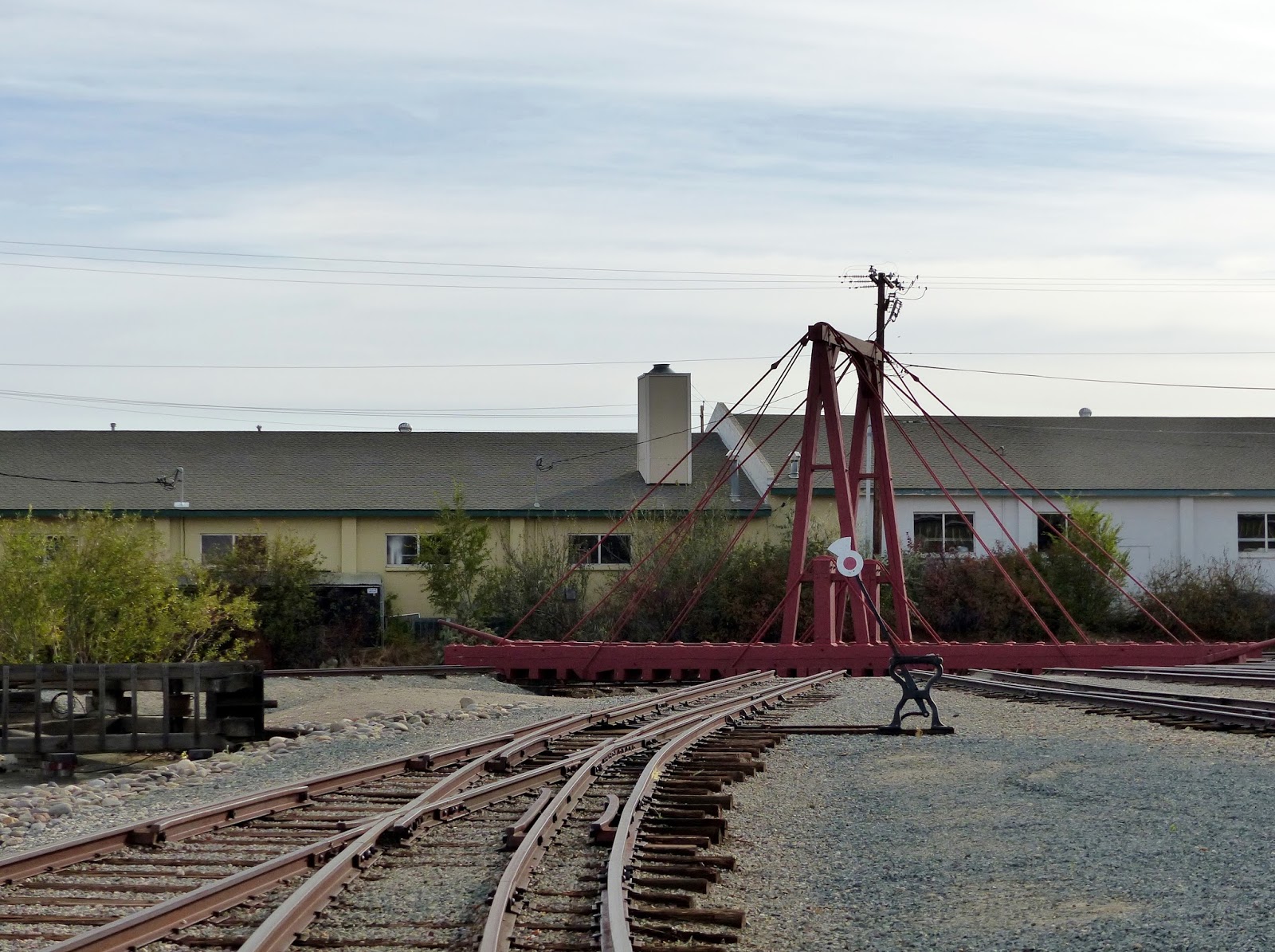
For a change, we stayed a week at Worldmark condo at Running Y Ranch near Klamath Falls, Oregon. I went for a walk around the golf course. (That doesn't mean I was golfing; there's an asphalt walking trail circling the golf course.) I was looking at the scenery and not where I was going, got off the edge of the blacktop and went for a tumble, landing on my elbow.  It was only a hair-line fracture, but it hurt--that's why there's a sling on my arm.

George says I’m supposed to watch where I put my feet, not just where I’m going to be. (Or words to that effect.) It's slowed me down, but didn’t stop most of the plans for this segment of the trip. Three days later we headed to Crater Lake National Park.

Hard to believe we hadn’t been to Crater Lake yet.  (Actually, we had—just not since we’d retired, so I don't count it.)  They close the road around the lake November 1st (or when first snow falls) and don’t open it again until June or July (or when the snow's all gone.)  Our timing north and south had been out of sync with the weather. Although I can sympathize with avoiding the snow, I didn’t want to miss the full Rim Drive--even if I had to do it while wounded. 
We wandered around Rim Village for an hour, checking out the overlook, Visitor Center and lodge. There’s a little historical display inside the lodge that’s pretty cool. (Did you know there was a waltz called “Crater Lake” written in 1932?  Me neither.  If you turn the page, it plays the tune. Pretty sure I never danced to it.)
This deepest lake in the US is almost a perfect circle, if you ignore the squiggles of the bays and coves, which truly makes the crater visible. Rim Drive is a 33-mile long scenic drive, with the unbelievable blue of the water usually visible on the right if you go clockwise.  (That would be MY side of the truck; planning is always important.) It’s hard to decide whether the blue of the sky or the blue of the lake is prettier.
Discovery Point is where a gold prospector accidentally discovered what he called “Deep Blue Lake”.  Admittedly that shade's not precise, but the blues around here jumbles the names on the color wheel in your brain.  It would probably be worse for a prospector who’s looking for something else that glitters in the sunshine. Anyway, he forgot how to get back to it.  Now it's a national park.
Watchman Overlook isn’t marked but a there's a well-developed pullout, with viewpoints of Wizard Island and Devils Backbone.  The cinder cone--a volcano inside a volcano--is visible from many places on the drive, but it's really close here.  In the summer, there are boat tours to (and around) Wizard Island.  We missed them by three weeks.
  
The National Creek Complex fire that started with a lightning strike on August 1st was full-contained, but still burning.  About ¾ of the almost 21,000 acre fire is within the park, making it the largest fire in park history. You can see the smoke off towards the mountains. 
At 7,865’, Cloudcap Overlook on the east side of the lake is at the end of the highest paved road in Oregon. (Clouds and winds are generously included.) By the time we got there, my arm was pretty achy and I was running out of steam.  I might have been getting a little crabby too...I’m sure George would share his observations.
Mount Scott at 8,929’ is the highest point in the park. I don’t think it’s terribly impressive, but I’d been looking at the lake, which is.
This isn’t Bryce Canyon, but there’s one place that evokes the colors and shapes of the southwest. The next overlook has a view of Pumice Castle, a layer of orange pumice rock that eroded into the shape of a medieval castle. Sort of...
Phantom Ship is the other island in the lake.  They say it resembles a small sailboat; I think it looks more like a castle than Pumice Castle.  It’s as tall as a 16-story building, a whole lot taller than it looks from up on the rim. 
Pinnacles Overlook is a 6-mile detour east from the Phantom Ship Overlook. The Pinnacles are fossil fumaroles where volcanic gases rose up through a layer of ash, cementing it into solid rock, then eroded.  A lot of them look like needles, but I like the ones where the point is broken off. There’s a trail, but I was wiped.
Last stop was Vidae Falls.  We stopped, took two pictures and I was done.
(I mean really DONE!)  
I think it’s probably prettier than I noticed.
I might not have felt great, but I could still handle a camera, so click for more pictures of Crater Lake.